IoT-Integrated AI System for Dump Site Detection via Aerial Imagery & Gesture-Based Interaction
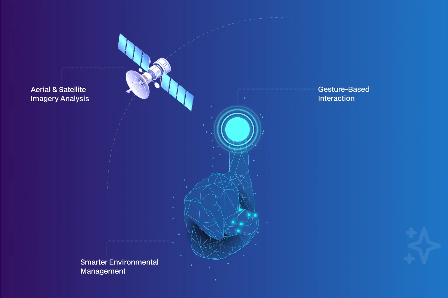
NeuraMonks developed a geospatial AI solution that detects dump sites using drone/satellite imagery, enhanced with gesture-based controls integrated via IoT. The system combines real-time location data, computer vision, and intelligent gesture interaction to offer a hands-free, field-friendly interface—perfect for rapid waste monitoring and responsive environmental actions.
Dump Pile Detection
Technologies Used

Infrastructure
Manual Image Review → AI Waste Detection
Reduced inspection and analysis effort by 45–55%
Approximate Mapping → Geo-Precise Detection
Improved dump site localization accuracy by 30–40%
Screen-Based Interaction → Gesture Control
Improved field usability and inspection speed by 40–50%
USP
- Detect dump sites from drone or satellite imagery with high accuracy.
- Seamless integration with IoT-enabled gesture devices for field operability.
- Converts GeoJSON coordinates into image pixels for precise detection zones.
- YOLO model optimized for identifying waste zones in complex environments.
Problem Statement
Business Problem
Environmental agencies and field teams rely increasingly on aerial imagery (drone and satellite) to identify illegal dumping and waste accumulation. However:
- Manual inspection of aerial images was slow and inconsistent
- Translating geospatial coordinates into actionable detection zones was error-prone
- Field operators lacked hands-free, intuitive ways to interact with insights on-site
- Touch-based or screen-heavy interfaces reduced usability in outdoor environments
These limitations delayed response times and reduced the effectiveness of environmental enforcement and cleanup operations.
Solution
Solution
NeuraMonks developed a dual-layered AI + IoT system that combined automated dump site detection with gesture-based field interaction.
What we delivered:
- YOLO-based computer vision model trained to detect waste zones from drone and satellite imagery
- GeoJSON-to-pixel transformation pipeline for geo-precise detection mapping
- Preprocessing of high-resolution .tif aerial images for consistent model performance
- IoT-powered gesture recognition module enabling hands-free interaction
- Real-time linkage between gesture input and visual detection overlays
The solution enabled rapid, screen-free decision-making in the field.
Challenges
Challenges Solved
Geo-to-Pixel Precision:
Accurately converted geographic coordinates into pixel-aligned detection zones on complex terrains.
Terrain & Scale Variability:
Maintained detection accuracy across varied landscapes, resolutions, and imagery sources.
Real-Time IoT Integration:
Synchronized gesture inputs with AI outputs without perceptible latency.
Noise & False Triggers:
Filtered unintended gesture signals to ensure reliable field usability.
Why Neuramonks
Why Choose us
- Outcome-driven AI delivery focused on operational speed and field usability
- Deep pre-GPT era expertise in computer vision and geospatial intelligence
- Proven capability in edge, on-prem, and offline AI deployments
- Experience integrating AI systems with IoT and human–machine interfaces
- Cost-efficient architectures for large-scale environmental monitoring
- Strong domain understanding of smart city and sustainability workflows
Ready to get started?
Create an account and start accepting payments – no contracts or banking details required. Or, contact us to design a custom package for your business.

Empower Your Business with AI
Optimize processes, enhance decisions, drive growth.

Accelerate Innovation Effortlessly
Innovate faster, simplify AI integration seamlessly.